| NNNN BAD DEVELOPERS NNNN | |||||||||||||
|
EXPOSING DEVELOPERS WHO FAIL TO APPRECIATE AND RESPECT COMMUNITY, ENVIRONMENT AND SPIRIT OF THE LAND |
|||||||||||||
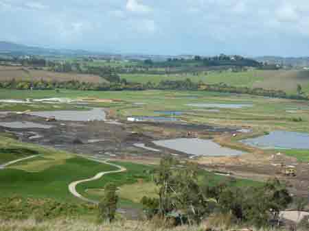
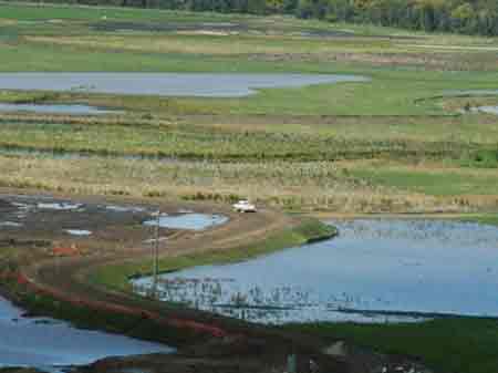
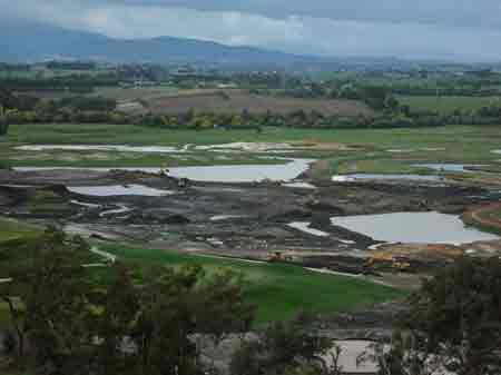
August 2005: Works continue unabated. Melbourne August 2005 rainfall 59.8mm (4.2% above average). Winter Rainfall 141.4 mm (4.9% below average). Total rainfall between January 2005 and August 2005 is well below average, with autumn being the driest ever. Despite under average 2005 rainfall, water management at Henley still continues to give the developers headaches. Imagine what would have happened if we would have had average rainfall for 2005? The above photo shows a reduced Lake A in foreground. Yarra Valley Golf Pty Ltd have been granted permission to decant vast amounts of sediment tainted water onto the floodplain. One massive rainfall event could see alot of this water wash into the Yarra with potentially disastrous effects for the endangered species. Some 'treated' construction water is allowed to be piped into the Yarra from Lake W, however the large amount of water stored across most of the floodplain means that 'treatment' for all sediment laden water is unlikely.

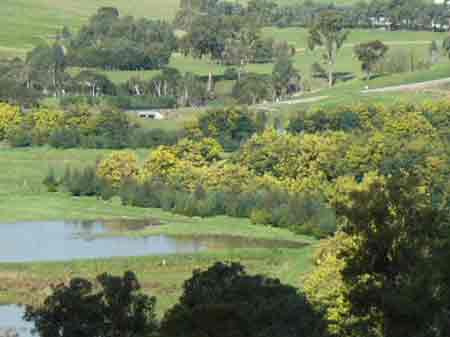
August 2005: Photo reveals the amount of decanted water allowed to be 'stored' on the floodplain. The extent of this water stretches very close to the Yarra River. Yarra Valley Golf Pty Ltd are hoping that the amount of water will decrease through wind and evaporation. This is a big risk, as September, October and November are the wettest months for Melbourne. One major rainfall event could be a disaster for all involved. The Yarra is also likely to be swelled by melting snow and rainfall higher in the catchment. 50% of the flow of the Yarra comes from groundwater also meaning that as the Yarra rises so to will groundwater meaning more water management problems.

August 2005: Extent of water and its close proximity to the Yarra River. Only a few metres are to spare before low quality water will wash into the river, which would be a breach of the development plans. Only 30cm 'freeboard' has been left for the decanted water, meaning that an big rainfall event could wash alot of the decanted water into the Yarra River.
August 2005: Closeness of decanted water to the Yarra River, which approximately is at the same location as the blooming acacias in this photo.
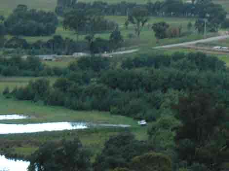
Same location July 05. Showing that more water has been decanted during the month of August.
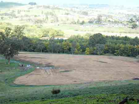
August 2005: Recent broadscale use of herbicides to kill pasture. Herbicide used at this location would probably be Glyphosate, however full details of what pesticides are being used and will be used in the future are confidential. Nillumbik Shire knows some of the details but they will not provide these details to the public. Cape weed is apparently appearing in all sorts of locations on the floodplain after disturbance, meaning more herbicide use.
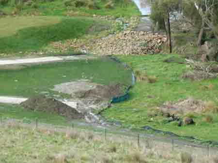
August 2005: Decanted water outside the Global Sediment Bund. Note the sediment traps that have been inundated with water, meaning that they are next to useless. In initial plans, construction water was supposed to be contained behind the Global Sediment Bund. Someone obviously didn't calculate water volumes and now that water has had to be released onto the floodplain.
August 2005: Another view of broadscale herbicide use.
August 2005: Dodgy sediment traps near the 12th hole.
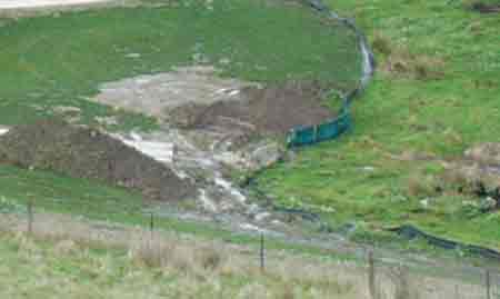
August 2005: Not a good look in terms of sediment abatement at this location.
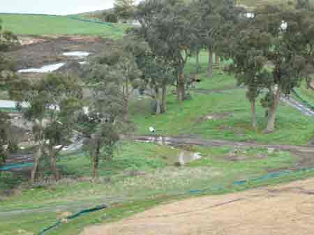
August 2005: Poor drainage on western side gully.
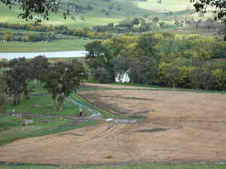
August 2005: Construction continues on the floodplain, with new holes being created between artifical lakes. Apparently Yarra Valley Golf Pty Ltd is desperate to get the construction of the course finished by February 2006. This would be highly unlikely, especially if spring rains stall the development further.