| NNNN BAD DEVELOPERS NNNN | |||||||||||||
|
EXPOSING DEVELOPERS WHO FAIL TO APPRECIATE AND RESPECT COMMUNITY, ENVIRONMENT AND SPIRIT OF THE LAND |
|||||||||||||
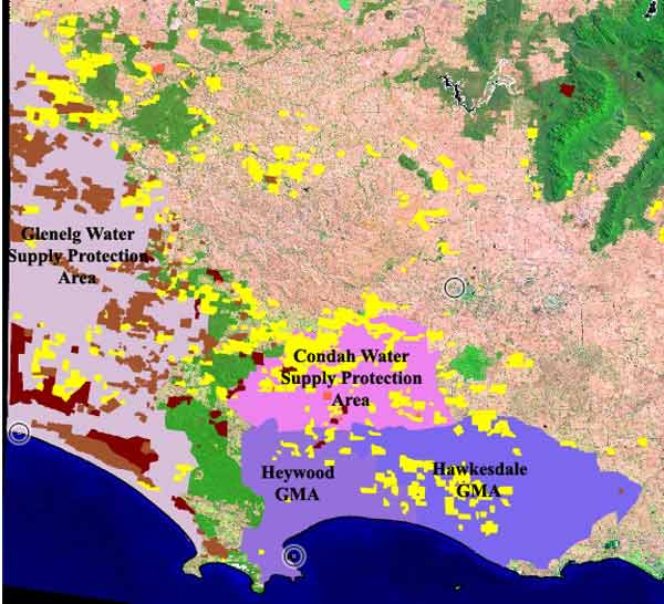
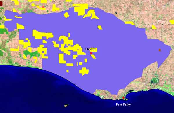
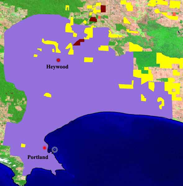
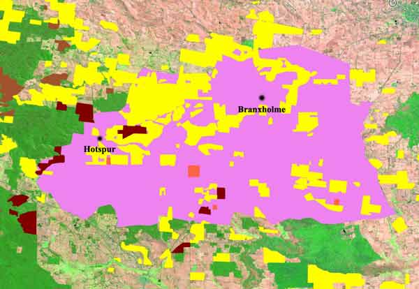
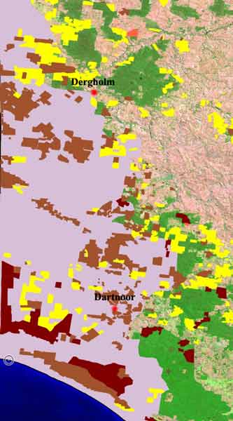
Dec 06: Groundwater zones south west Victoria, excluding Portland GMA and SA/Vic Border Zones. Plantations overlays - Bluegums (yellow) and Radiata Pine (Brown). Glenelg WSPA heavily impacted by pine plantations while the newer bluegums have targeted Hawkesdale, Condah and Heywood.
Interesting quote referring to Hawkesdale GMA from report on Southern Rural Water website;" Plantation forests over shallow ground water (less than 5 metres below surface) are predicted to be using between 12,000 and 20,000 ML pr annum of groundwater (approximately). This groundwater use is by trees drawing water into the soil profile from a shallow water table. This estimate is hotly debated and requires further assessment. If correct, this use represents potentially a significant demand on the aquifer". Almost all bluegum plantations in the Hawkesdale GMA are owned by Timbercorp, argueably making Timbercorp the most controversial of the bluegum companies operating in Victoria's south west.
Also see Age article on Hawkesdale GMA 13/4/08
Timbercorp Victoria's largest water owner 29/10/08 (not including water used by their extensive bluegum plantations).
Victoria's Top Water Shareholdings 29/10/08
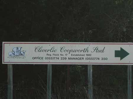
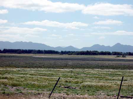
Cleverlie Property now under bluegum plantations.
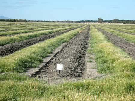
Oct 06: Ex pasture and cattle country now converted into bluegums.
Oct 06: Cleverlie also has numerous dams and water infrastructure which now guarantee the bluegum plantations water in times of low rainfall. This problem will become more important due to Greenhouse effect. Much of Cleverlie is also located on land subject to inundation. The property catchment feeds into Brady Swamp located just outside the Grampians National Park.
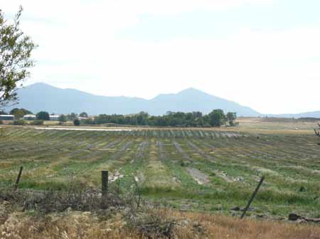
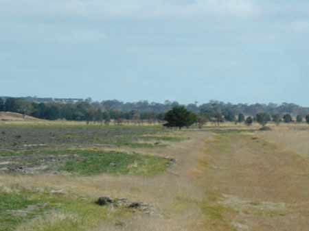
October 06: Another farm dam now will be servicing bluegum trees.
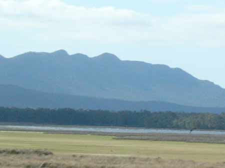
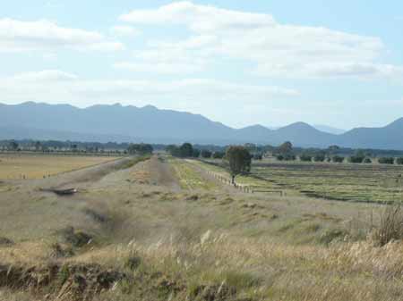
Brady Swamp. What impact will approximately 1700 hectares of bluegum have on the hydrology of Brady Swamp? In this rainfall area the bluegums will use approximately 1200 ML (1.2 GL) more water per year, averaging over a ten year cycle, than the pasture that preceeded it. Brady Swamp only has a small catchment. By 2016, water use by the bluegums in an average year will increase to 2550 ML (2.55 GL) above what was used for pasture.
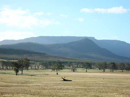
Brady Swamp State Game Reserve - Grampians National Park in background.
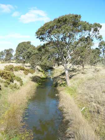
October 2006: Drain which feeds into Brady Swamp system. Plantations located on left hand side of image, within 20-30 metres of drain. However drains could be susceptible to herbicide leaching in times of heavy rainfall and flooding and insecticides through spray drift if it occurs.
October 2006: Main Drain which feeds into Brady Swamp system. This drain is protected by a levee.
October 2006: Main Drain which feeds into Brady Swamp system.
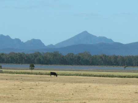
October 2006: Timbercorp plantations in the foothill of the Grampians National Park.
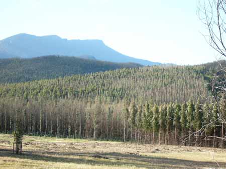
October 2006: Timbercorp plantations in the foothill of the Grampians National Park. Recent bushfires killed off several hectares of plantations.